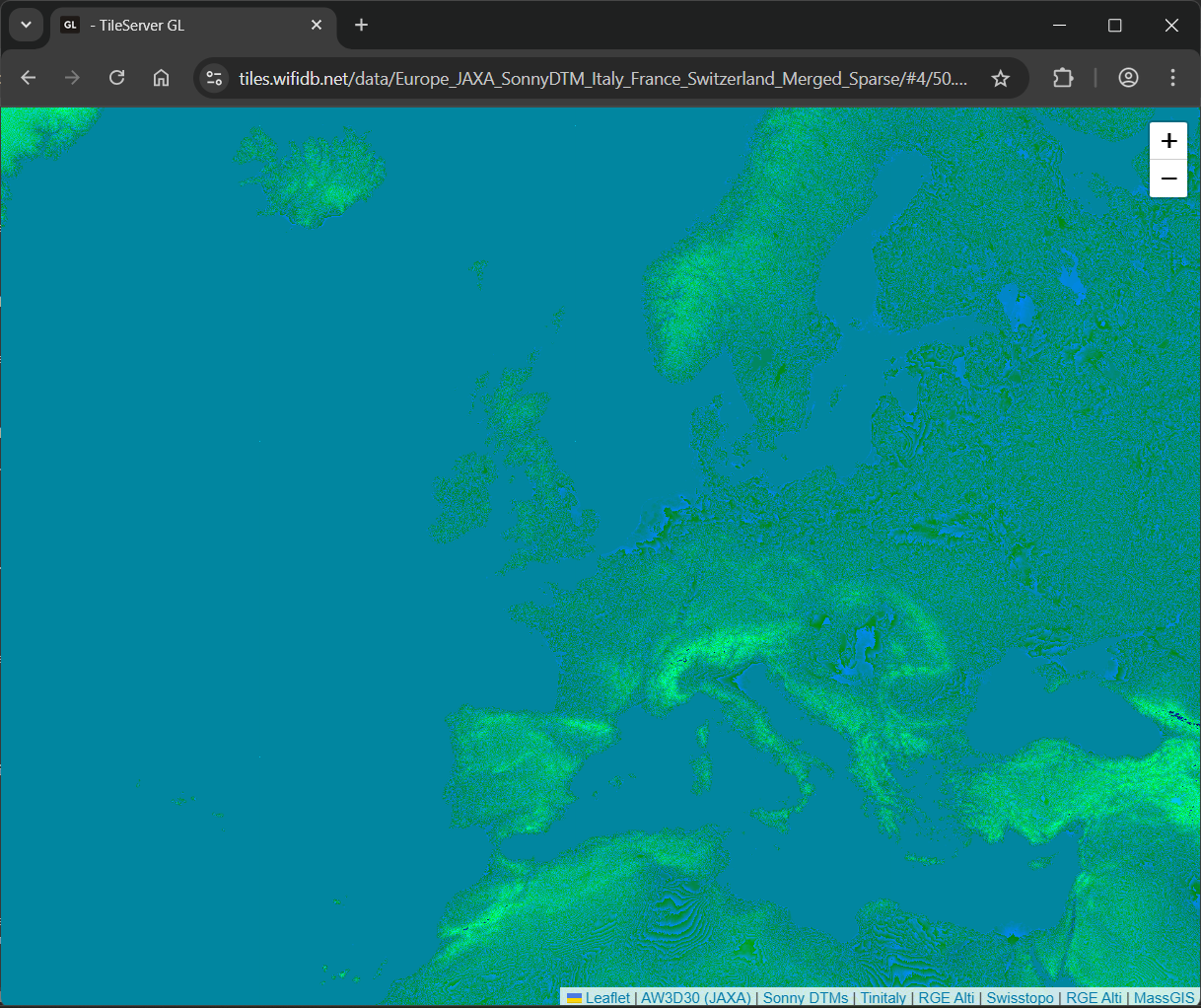
(Merged) TerrainRGB
Overview
These merged tilesets were generated using the process at https://github.com/acalcutt/terrain_merged. This involved generating individual datasets with optimized settings for each. These datasets were then merged using configurations located at https://github.com/acalcutt/terrain_merged/tree/main/merge and a custom version of rio rgbify. This custom version includes a new rio merge command, available at https://github.com/acalcutt/rio-rgbify/blob/merge/.
The "Individual Merged Tilesets" represent the tilesets produced by these configurations. The "Combined Merged Sparse Tilesets" are created by combining these individual files into a sparse tileset, a data structure characterized by varying maximum zoom levels across different geographic regions.
Downloads
Combined Merged Sparse Datasets
⚠️ Important: Sparse tilesets require special handling. For MapLibre GL JS, send a
410 GoneHTTP status for missing tiles. With TileServer-GL, add a'sparse'flag to your data source configuration. See documentation →
| Dataset Name | Size | Contents |
|---|---|---|
| Planet_Merged_Sparse_2024_z0-Z16_cubic_webp_v2_pmtiles.torrent | ~698GB | JAXA + Europe + Austria + France + Germany + Italy + Spain + Switzerland + Massachusetts |
Source Data
The following table provides details about the source datasets used in generating these tilesets:
| Dataset | Coverage | Resolution | Format | Description | License | Link |
|---|---|---|---|---|---|---|
| JAXA AW3D30 | Global | 30m | GeoTIFF | Global elevation data. | Public Domain (CC0) | Link |
| IGN RGE Alti | France | 5m & 1m | ASC | High-resolution elevation data for France. | Etalab Open License 2.0 | Link |
| TIN Italy | Italy | 10m | GeoTIFF | Digital Terrain Model of Italy. | CC BY 4.0 | Link |
| Sonny DTM | Europe | 20m | Unknown | Digital Terrain Model for Europe. | CC BY 4.0 | Link |
| SwissAlti | Switzerland | 0.5m | GeoTIFF | High-resolution elevation data for Switzerland. | CC BY 4.0 | Link |
| Italy_Sudtirol | Italy | 2.5m | Unknown | Digital Terrain Model for Sudtirol region. | Creative Commons CC0 1.0 Universal (CC0 1.0) | Link |
| OpenDTM_DE | Germany | 1m | Unknown | Digital Terrain Model of Germany. | Multiple | Link |
| Austria | Austria | 1m | Unknown | Digital Terrain Model of Austria. | CC-BY-4.0 | Link |
| Spain | Spain | 5m | Unknown | Digital Terrain Model of Spain. | CC-BY 4.0 | Link |

